
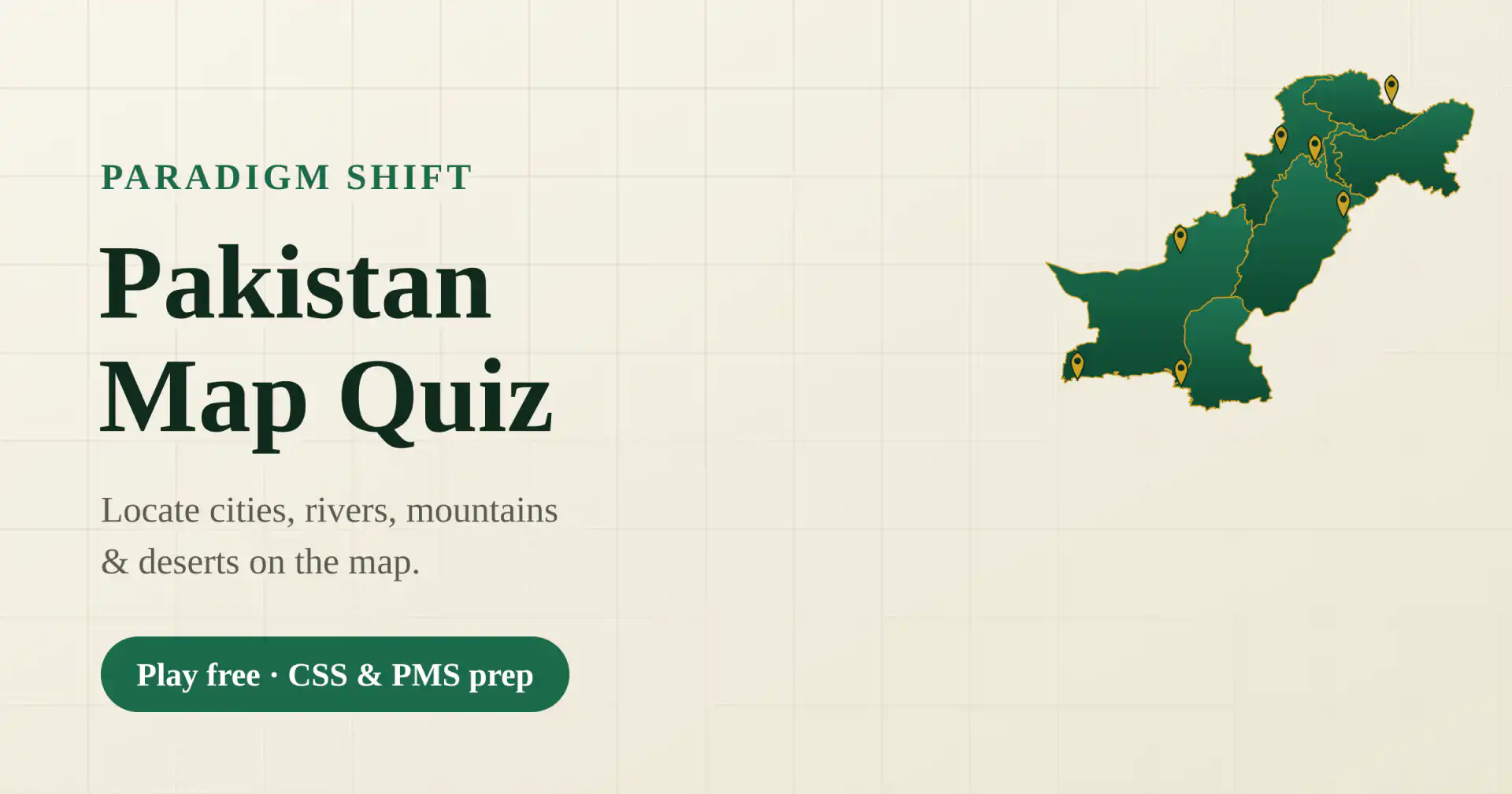
A free Pakistan map quiz played on an interactive map of Pakistan. Pinpoint cities, rivers, dams, barrages, lakes, mountain ranges, deserts and passes — read the name, tap the right spot on the map. It covers the physical and human geography of Pakistan that CSS, PMS and FPSC papers assume you know. Every round randomises the questions and shuffles the map markers, so no two rounds are the same.
What does the Pakistan map quiz cover?
Three categories: Cities (provincial capitals down to district towns), Rivers, Dams & Lakes (the Indus system, major barrages and dams, and famous lakes), and Physical Features (mountain ranges and peaks, deserts, plateaus, passes and national parks). You choose the category and the difficulty.
How does difficulty work?
Easy covers the best-known places, Medium adds second-tier locations, and Hard includes the harder district towns and remote features. You also pick how many questions to play — 5, 10, 15, 20 or all — and can turn on a reverse mode (name the highlighted dot) or a timed mode for extra challenge.
Is this Pakistan map quiz good for CSS and PMS preparation?
Yes. Pakistan’s geography — rivers and barrages, mountain ranges and passes, deserts, and the location of major cities — is core to CSS Pakistan Affairs and general knowledge, and to FPSC and PPSC one-paper tests. Building spatial recall of the map makes the factual questions much easier.
How is this different from the world map quiz?
This one focuses entirely on Pakistan and its physical features; the World Map Quiz tests where countries sit on the globe. Together they cover both the Pakistan-specific and the world geography that exams draw on.