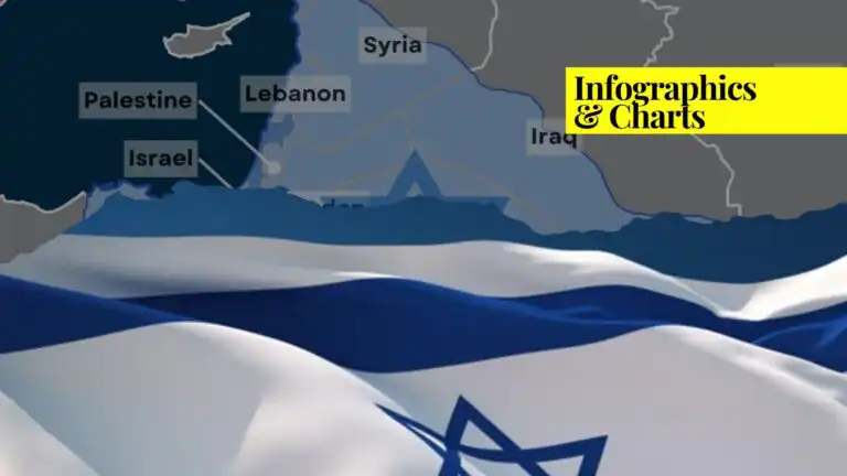

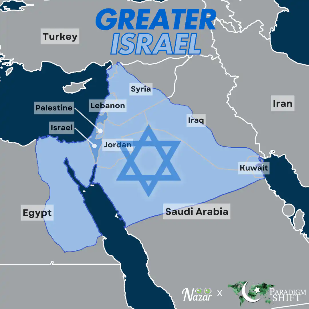
The concept of “Greater Israel,” represented by the map below, is a highly contentious and controversial geopolitical vision that has garnered significant attention, particularly within the context of the Israeli-Palestinian conflict and broader Middle Eastern geopolitics.
The idea of Greater Israel is typically associated with the belief that Israel has a divine or historical right to expand its territorial boundaries to include areas that have historically been part of ancient Israel, such as the West Bank, Gaza, parts of Syria (including the Golan Heights), and even parts of neighboring countries like Lebanon and Jordan. The greater Israel map below outlines the plan in detail.
For more information on the Greater Israel Project, check out this informative video by Paradigm Shift.

If you want to submit your articles, research papers, and book reviews, please check the Submissions page.

Nazar Data (@nazar.data) is dedicated to transforming complex data and information into clear, engaging, and visually compelling graphs and maps. With a focus on simplicity and accessibility, the goal is to make data-driven insights understandable for everyone, including younger generations, by presenting information in a clean and creative way.