
Download the complete Pakistan country map in PNG.
About This Pakistan Country Map
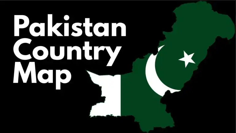
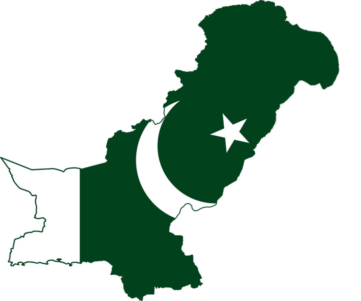
Pakistan is a country in South Asia which gained independence in 1947. This is the Pakistan country map that features the Pakistani flag with a clean, modern aesthetic suitable for presentations and publications. Pakistan has 4 provinces which include Punjab, Baluchistan, Khyber-Pakhtunkhwa, and Sindh. The capital, Islamabad, is federal territory while Gilgit-Baltistan and Azad Jammu and Kashmir are semi-autonomous areas within the country. Major cities include Islamabad, Lahore, Peshawar, Karachi, Sialkot, Quetta, Faisalabad, Multan, Gwadar, Hyderabad and many more. The country has borders with China (to the north), India (to the east), Afghanistan (to the west), and Iran (to the southwest). Towards the country’s southern coastline is the Arabian Sea which forms the southern border.
The map displays Pakistan’s administrative boundaries including Gilgit-Baltistan and Azad Jammu and Kashmir, which are shown as part of Pakistan in accordance with official Pakistani government sources.
Map Specifications
– File Format: PNG (Portable Network Graphics) with transparent background
– Dimensions: 1041 x 1249 pixels (high resolution)
– File Size: 124 KB
– Last Updated: 2026
– Design Features: Country outline map with integrated Pakistani flag
How to Use this Pakistan Map
Education: Classroom presentations and student projects.
Research: Geographic studies and demographic analysis.
Professional: Business planning and market research.
Personal: Travel planning and wall decoration.
Download and Usage Terms
Free for educational and personal use with attribution to ParadigmShift.com.pk
Related Pakistan Maps
You can find other maps related to Pakistan in our maps section that we have made especially for researchers, students, and CSS aspirants. You will find all sorts of maps such as topographical maps, demographic maps, road network maps, regional maps, detailed maps with provinces and districts. The maps are free to view and download which displays Paradigm Shift’s commitment to providing everyone with the best quality articles, research papers, infographics and now maps as well! Please if you share the maps, do give us a shout out as this helps promote our work around the world.
Paradigm Shift is an official staff account.