

About This Physical Map
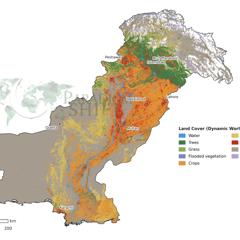
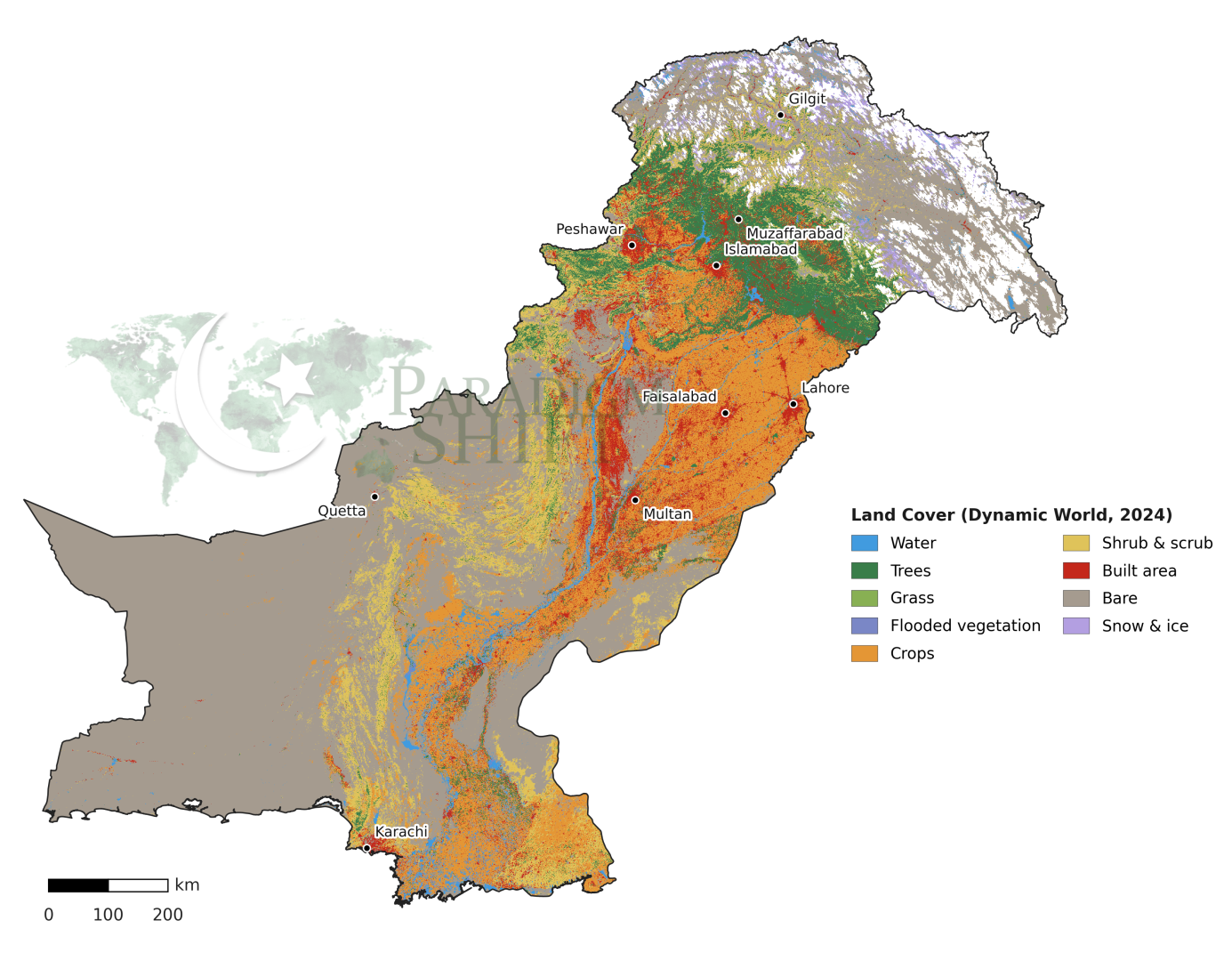
This Pakistan physical map presents the country’s diverse natural landscape based on 2024 satellite data. Pakistan’s landscape varies considerably from west to east and north to south. The western and southwestern areas, covering much of Balochistan, are predominantly arid and barren, with little vegetation or agricultural activity. Moving eastward, the Indus River and its canal network support an extensive belt of cropland running through Punjab and Sindh from north to south, which forms the country’s main agricultural zone and is also where the majority of the population and major cities are concentrated. The northern regions, around Islamabad, Peshawar, and Muzaffarabad, support more tree cover due to higher rainfall and cooler temperatures, while further north in Gilgit-Baltistan the terrain transitions into high-altitude mountains with permanent snow and glaciers. Along the Indus corridor, cities like Lahore, Faisalabad, Multan, and Karachi appear as distinct patches of built-up land within the broader agricultural landscape.
This land cover map of Pakistan is more detailed than traditional physical maps because it shows actual vegetation, bare ground, crops, and urban areas derived from satellite observation.
Map Data Source & Methodology
The Pakistan land cover map data comes from Dynamic World, a product developed by Google in partnership with the World Resources Institute. It is derived from imagery captured by the European Space Agency’s Sentinel-2 satellites, which continuously photograph the Earth’s surface at a relatively high resolution. Unlike traditional land cover maps that are updated every few years, Dynamic World uses machine learning to classify each satellite image into one of nine land cover categories — such as crops, trees, bare ground, or built-up area — on a near real-time basis. The map shown here reflects conditions in 2024, and the classification is based on the most frequently observed land cover type for each location over the course of the year, which helps reduce the influence of temporary changes such as seasonal flooding or cloud cover.
Map Specifications
– Map Type: Physical map showing land cover / land use
– Data Source: Dynamic World (Google & World Resources Institute)
– Satellite Imagery: European Space Agency Sentinel-2 (10m resolution)
– Classification: Machine learning, 9 land cover categories
– Time Period: 2024 annual composite
– Categories Shown: Crops, trees, built-up area, bare ground, water, flooded vegetation, shrubs, grass, snow/ice
– File Format: PNG with transparent background
– Dimensions: 2560 x 1997 pixels
– File Size: 2.8 MB
– Last Updated: 2026
How to Use This Physical Map
– Education: Geography lessons on Pakistan’s ecosystems, agriculture, and urbanization.
– Research: Environmental studies, climate change impact assessment, agricultural planning.
– Professional: Urban planning, infrastructure development, natural resource management.
– Personal: Understanding Pakistan’s diverse landscapes, travel planning, general knowledge.
Download and Usage Terms
Free for educational and personal use with attribution to ParadigmShift.com.pk.
Suggested attribution: “Physical land cover map of Pakistan based on Dynamic World data (Google & WRI), processed by ParadigmShift.com.pk“
Related Pakistan Maps
You can find other maps related to Pakistan in our maps section that we have made especially for researchers, students, and CSS aspirants. You will find all sorts of maps such as the Pakistan country map with flag, topographical maps, demographic maps, road network maps, regional maps, detailed maps with provinces and districts. The maps are free to view and download which displays Paradigm Shift’s commitment to providing everyone with the best quality articles, research papers, infographics and now maps as well! Please if you share the maps, do give us a shout out as this helps promote our work around the world.

Paradigm Shift is an official staff account.